Didn’t sleep too well last night and got up at 7am to check on the route for today, which was good and bad. The good was I realized that the map I did on Ride With GPS was taking me up and over the hills behind Laguna Seca and bugger that, I had this day planned to only be 1,500ft of climbing. Oh how well that turned out.
The Comfort Inn did a great breakfast so I loaded up on scrambled eggs, sausage and my body weight in tomato ketchup to help make up for the lack of saliva thing and a couple of orange juices. I also had my nutritional shake to keep the Docs and wife happy so I was well fueled, especially after a great meal at Massaro and Santos on the Coastguard Pier last night. The best clam chowder in Monterey methinks and no-one seems to know about this place!
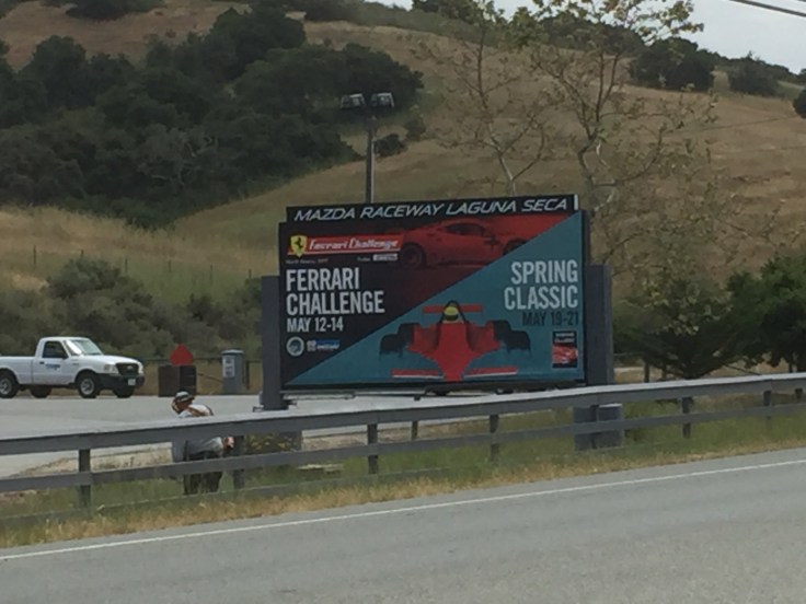
I set off on a usual cool Monterey morning and within 3 miles I was taking off the first layer. I rode out on Highway 68 past my favorite Monterey campground and world-famous racetrack, Laguna Seca. We love coming here with the RV when there’s not a major event going on.
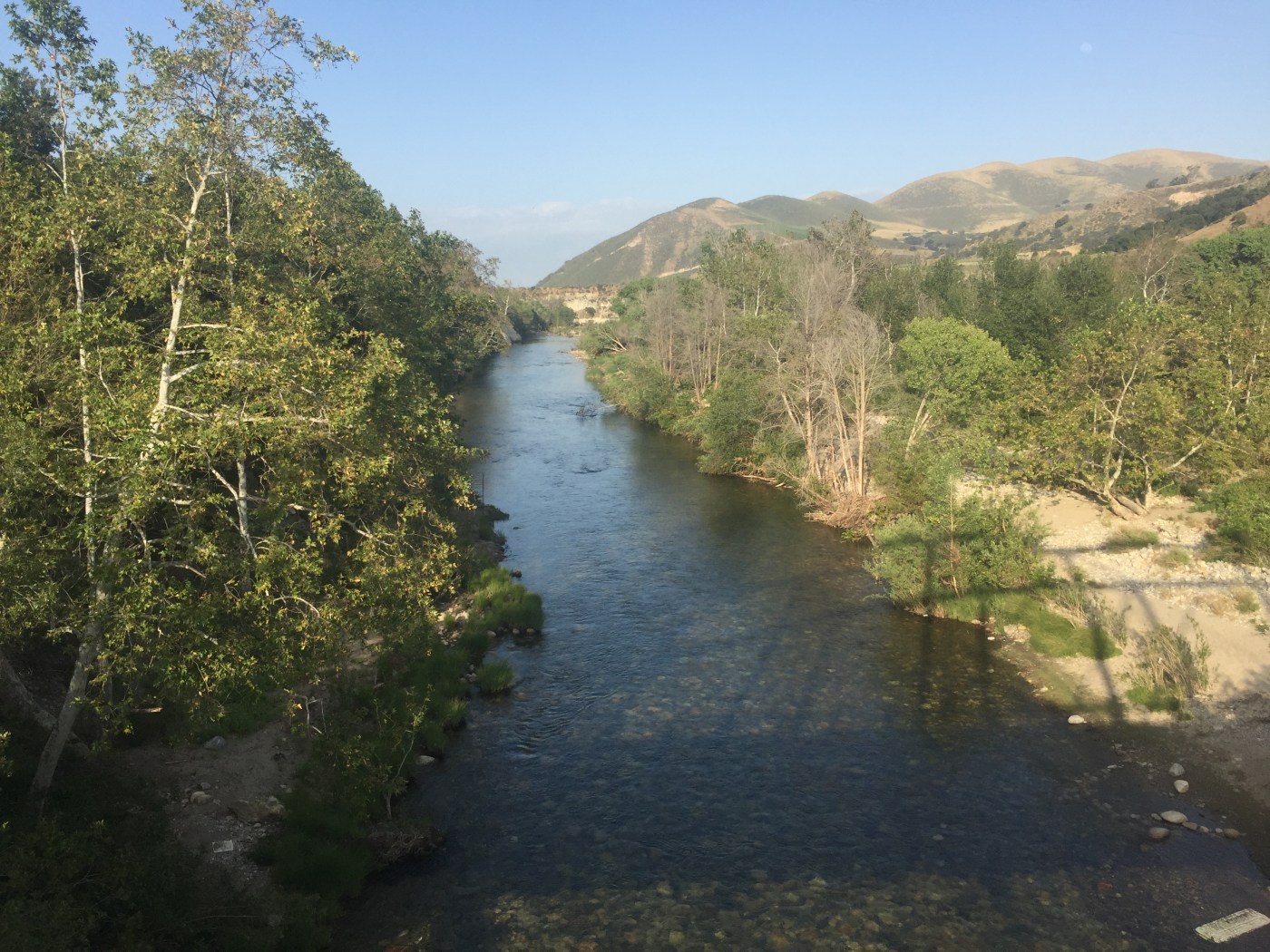
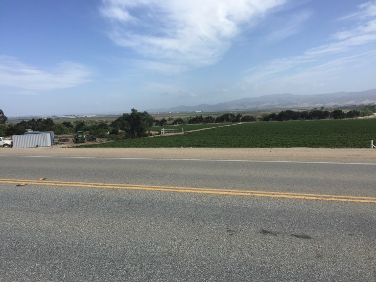
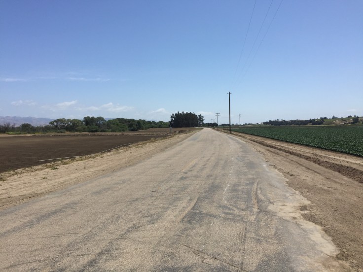
The route follows Highway 68 and then takes you off and under the freeway through a residential area to pick up River Road, possibly the worst road in California. I’d be on this road all day and I’m struggling to find something nice to say about it, so let’s just say that the view of the valley to left was nice and the hills to right were pretty. Just don’t look straight ahead. It’s paving is eyeball jarring and there’s miles and miles of not much. What also didn’t help was a fierce wind blowing at 45-90 degrees from my left which reduced my pace to 7mph at best on the flat and by mile 20 I was about ready to call it a day and look for a bus.
As I was cresting yet another a hill at a crawl a car behind was waiting to pass and they hollered encouragement as they passed me, so thank you random Oregon peeps, that was great timing.
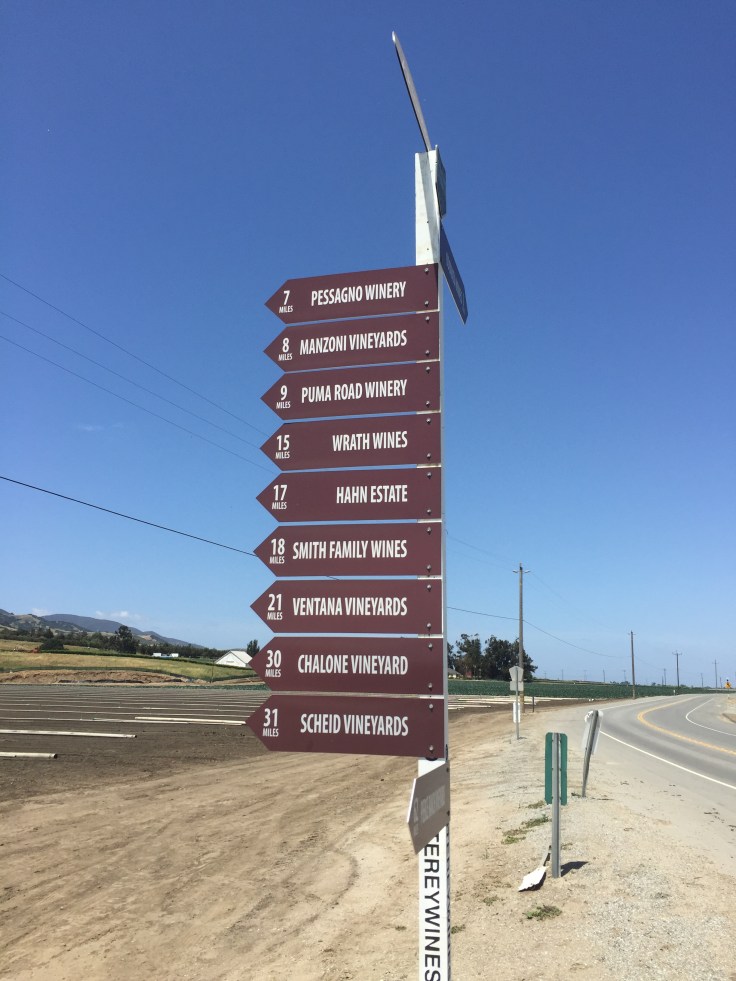
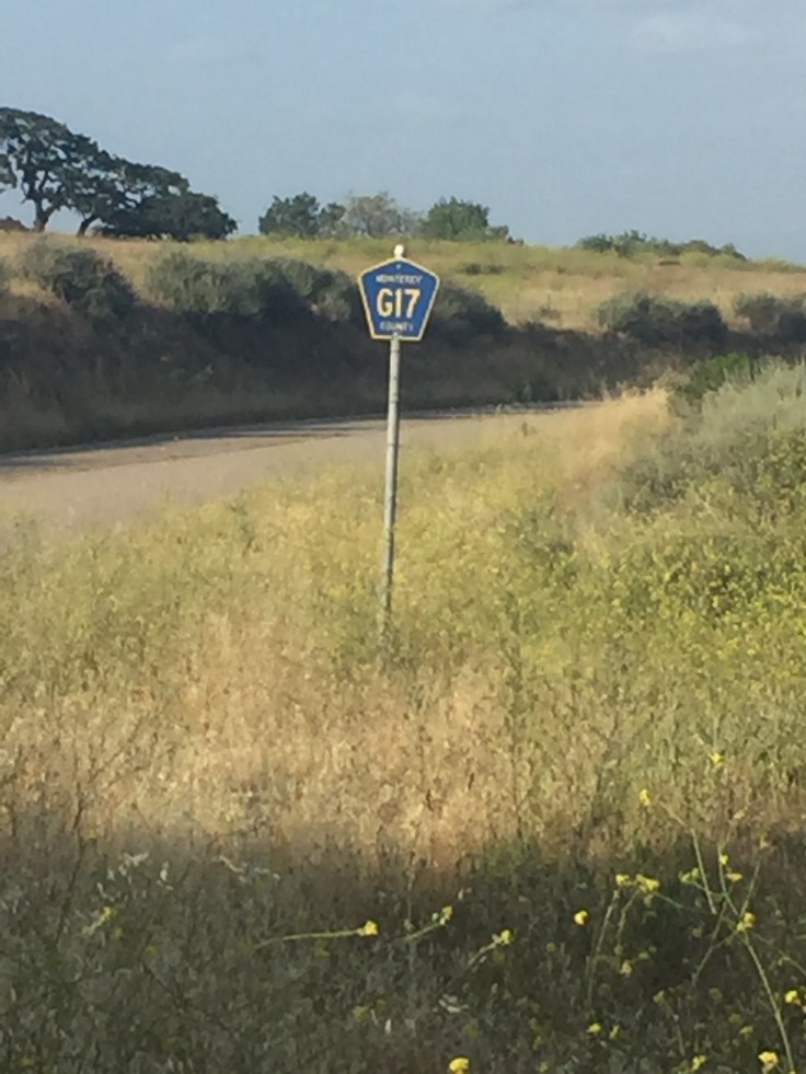
A short while later I turned a corner, not metaphorically speaking, there was an actual right turn on route G17 by a bunch of vineyard signs.
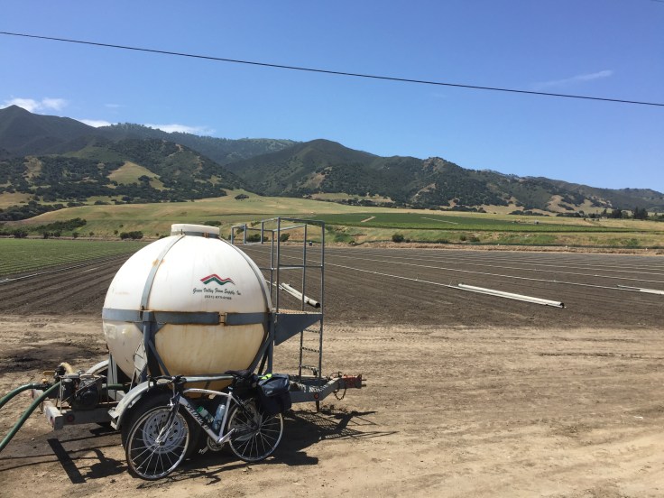
This tank thing may, or may not, have been a good place to pee behind. The thing with a constant dry mouth is having to drink all the time so plenty of opportunities to stop and take in the views….
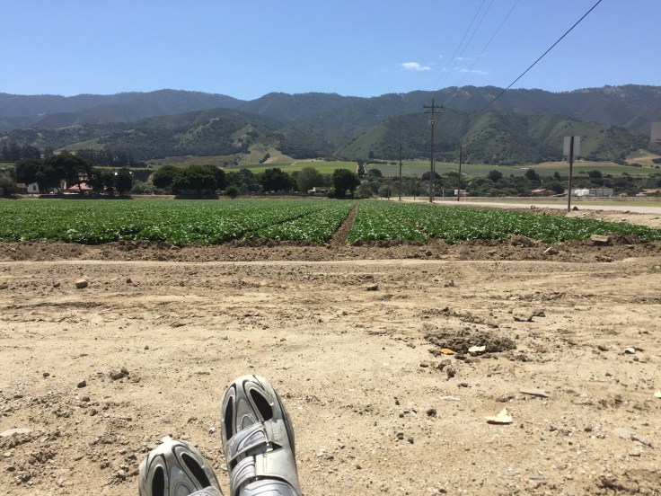
After taking the turn the wind lessened and I made it another few miles before deciding to stop and enjoy lunch. Since the last restaurant I saw was about 30 miles behind me I decided to go all gourmet.
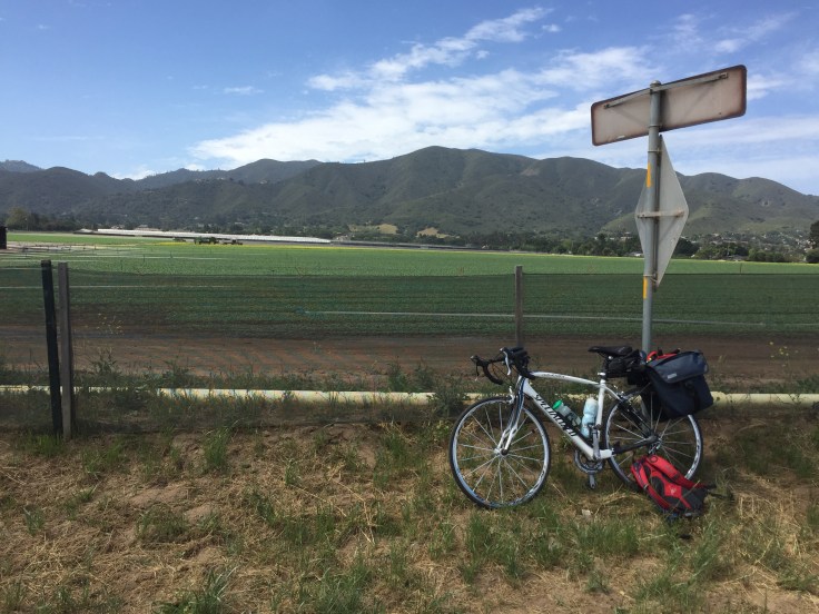
The views were pretty nice of some vineyards and the hills so I rolled my sleeves and shorts up to get a slightly better (less worse?) farmer’s tan and enjoyed the view.
I was really not enjoying the ride today at all but my friends rallied me via Facebook and I decided it was time to push on and stop whining. I truly hated this bumpy road for quite a while but eventually I made peace with it and will just have my dentist replace the fillings that were rattled loose when I get back.
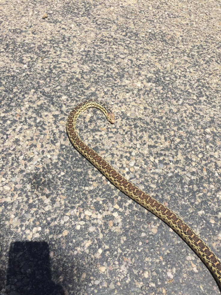
On Highway 1 on Friday I was impressed by the number of random car parts that were littering the shoulder – not just the usual nuts and bolts but small electrical parts with wires coming from them. Saturday and Sunday there was more of a dead animal thing going on with a huge number of birds, small vermin and a fair amount of snakes, mostly dead I think.
I passed more of the same scenery and the mission at Soledad.

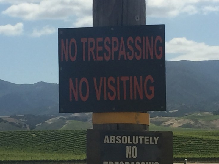
There was a great sign that I think I’ll use to get my parents a new doormat for Christmas. I think they’d like it.
After what seemed like another eternity the road surface actually improved and I took a break at the 50 mile mark and looked forward to only another 18 miles to go, or so I thought.

I thought I was following the route on my Garmin and after 4 miles I missed this little gem and a left turn.
After 9 miles the road was narrowing and I had this horrible feeling that I had gone wrong. There was hill after hill after hill, not what I needed today. It’s not a great feeling when you’re exhausted and there are clearly no roads over the mountains heading in the direction that you know that you’re supposed to go. Not one.

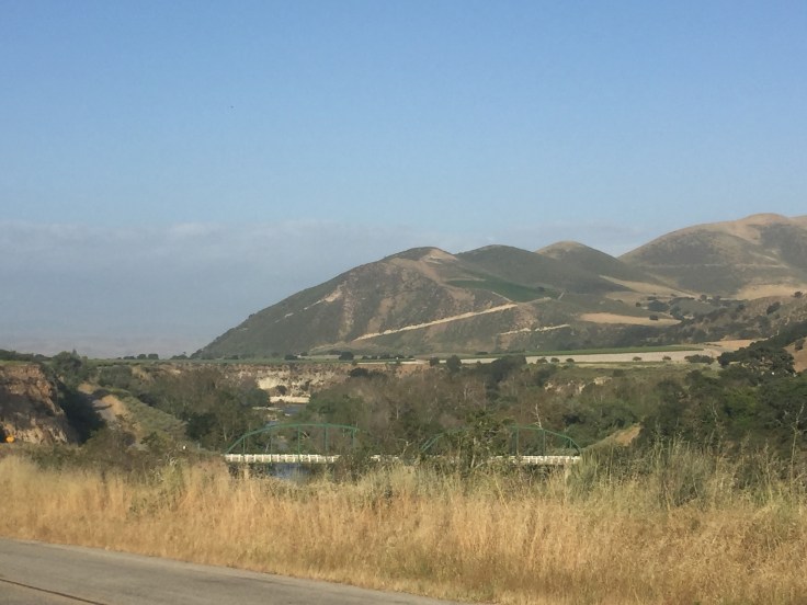
Cursing myself and my lack of Garmin knowledge I stopped and asked the first human I had seen in hours and they confirmed that I need to go back about 8 miles to the green bridge and take a right. Another 8 miles. OMFG. Anyway, what else could I do? There was no cell phone coverage to ask for help so I turned around and went back over the hills, over doubling my planned climbing for the day.
I finally found the green bridge and since I’d done over 70 miles of my planned 67, and climbed 3,400ft of my planned 1,500ft I used the phone to call in the support crew. I did not have another hour and fifteen minutes of riding left in me.
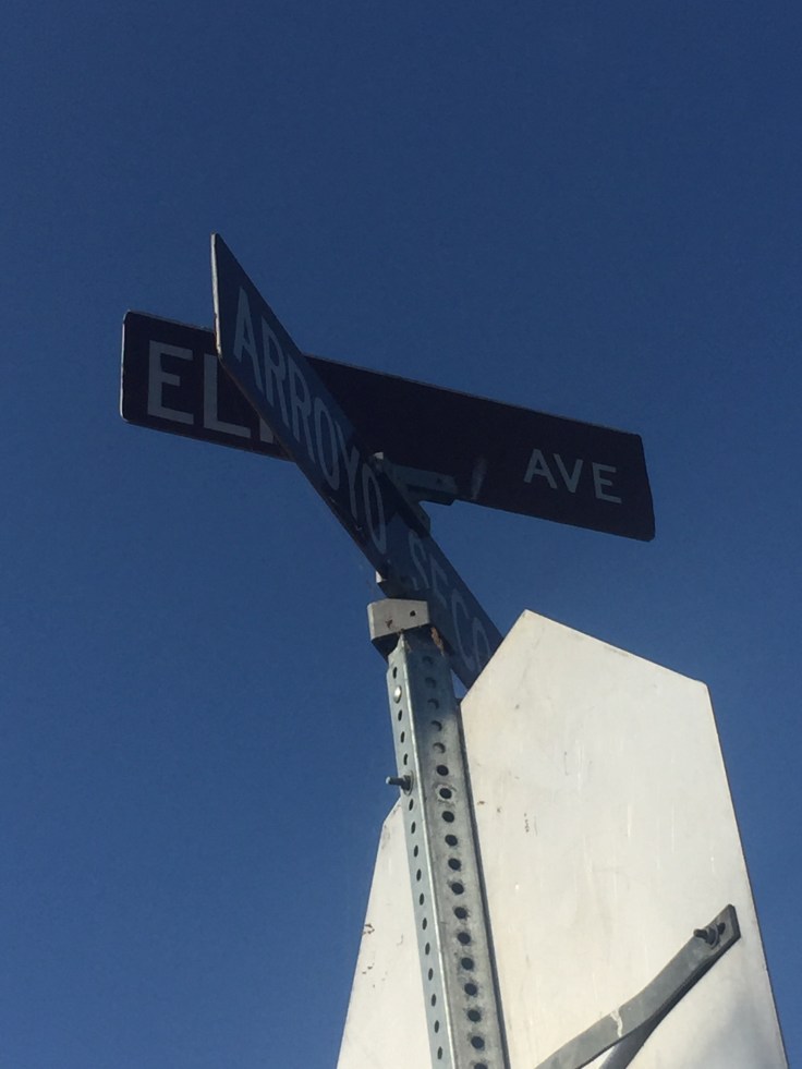
If you’re taking this route DO NOT MISS THIS TURN!!! It’s Arroyo and Elm, bottom of a hill with a green bridge off to the left and a miniscule G17 sign. There really isn’t much you want to see beyond that, trust me, and there are a lot of hills.

I languished in the bath for a while soaking my aching and sunburned legs and then headed out to the local pizza and pasta place for some carb loading. Not a huge restaurant selection here but the pasta was good and was washed down with a couple of large, cold Coronas.
Now time to read the Garmin instruction book and check tomorrow’s route.
- 70.5mi
Distance
- 6:17:36
Moving Time
- 3,442 ft
Climbing 😦 Only 1,550 originally planned for today so definitely some “bonus” alitude
Key learnings of the day:
- Learn how to navigate. My cub scout leader would be rolling in her grave, unless she’s still alive. Not sure.
- Postpone any dental work until after the ride. Monterey County roads will remove your fillings and jiggle your eyeballs like nothing else.
- Make friends with the wind. Not really, despise it, but do your best to fool yourself that it’s ok.
- Looking down at your feet constantly going around and around is quite mesmerizing. Seeing the tears bounce off your shoes, not so much.
- Find more hills to climb when you’ve purposefully planned less hill climbing. It’s “rewarding”, allegedly.
- Don’t spend so long applying Butt’r when there are cars passing. You get odd looks.
- Learn how to navigate, again.

You are doing great Simon! I’ve ridden to LA three times with AIDS LifeCyle riding a very similar route. I give you a ton of props doing it alone. It’s much harder and there is more room for error. Day three and four are the hardest. You will be riding like the wind in no time!
LikeLike